Hike #59: Devil's Glen to Nottawasaga Lookout Provincial Park
 |
| Hike #59 Devil's Glen to No 26/17 Nottawasaga Side Road |
Today we parked on No 26/27 Nottawasaga Side Road and took an Uber to our starting location at the Devil's Glen parking lot (spots for 10 cars). There is roadside parking on No 26/27 SR. We almost had to cancel our Uber as he attempted to approach via Concession 10 South, and 26/27 was not accessible from that direction without four wheel drive. Fortunately, he was the same Uber driver that we tipped very well the previous week so he found an alternate route to us. I suggest if you are taking an Uber from this spot that you walk approximately 1.5 Kms to Osprey Clearview Townline Road. This parking spot would not be accessible in winter; however, you would be able to access the trail from the Devil's Glen Parking Lot. There were no washroom facilities at either parking location.
 |
| Highway 124 |
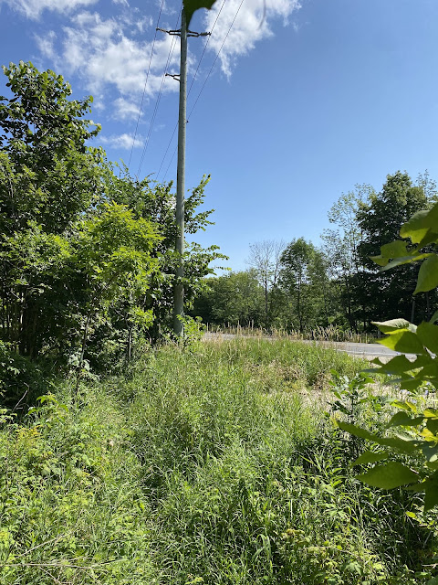
In the picture below you can see the view from the trail alongside Highway 124. In the distance, through the opening in the trees, you can see the ski trails in Devil's Glen Country Club that we walked down on our previous hike.
 |
| View to the south of Devil's Glen from Highway 124 |
 |
| Private driveway off of Highway 124 |
 |
| Stile on south side of Highway 124 |
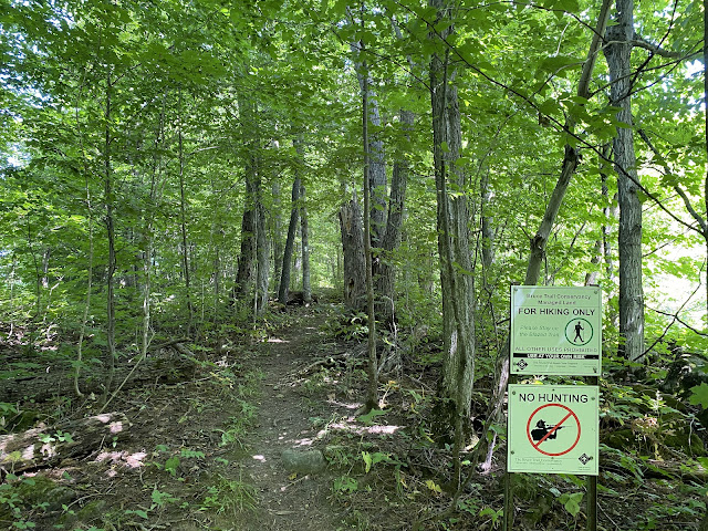
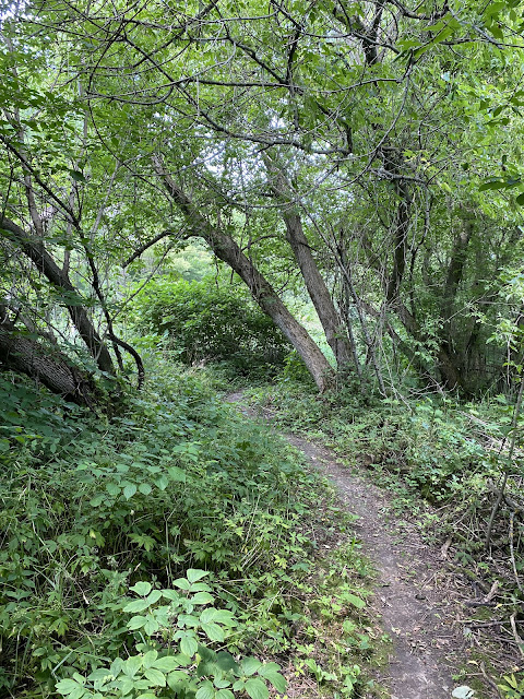
After crossing Highway 124, the trail heads north and east to intersect with Concession 10 South. There is road parking for 2 cars on Concession 10 South. The trail winds through forests here, and also skirts several farmer's fields.
The Bruce Trail, according to our map downloaded in 2020 (Ed. 30.0) when we started our hike, used to continue north along Nottawasaga Concession 10 South and then turned left on Highway 91. We were pleasantly surprised to find that the trail now crosses Concession 10 and continues west then north through tree lined farmers fields.
 |
| Nottawasaga Concession 10 |
 |
| Northern Leopard Frog |
The Bruce Trail turns north to pass through Highlands Nordic where it crosses several cross country ski trails.
The Bruce Trail passes alongside Duntroon Quarry near highway 91 then delves back into the woods before crossing highway 91..
 |
| Duntroon Quarry |
 |
| View east down Highway 91 |
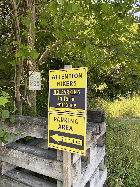 |
| There is parking for 12 cars at the BTC lot off of County Rd 91 |
From Country Rd 91, the trail continues through forest and marsh towards 26/27 Sideroad.
Below is the roadside parking (for 5 cars). Although this part of the road looks fine, the place where you are actually allowed to park is quite a bit rougher especially after the heavy rains we've been having.
 |
| The Wedding Tree referenced in the previous picture |
 |
| 26/27 Sideroad - the tame section. |
 |
| Flora |
Below is the roadside parking (for 5 cars). Although this part of the road looks fine, the place where you are actually allowed to park is quite a bit rougher especially after the heavy rains we've been having.
 |
| Nottawasaga Side Road 26/27 (space for 5 cars) - view eastward |
 |
| Llamas on Nottawasaga 26/27 |
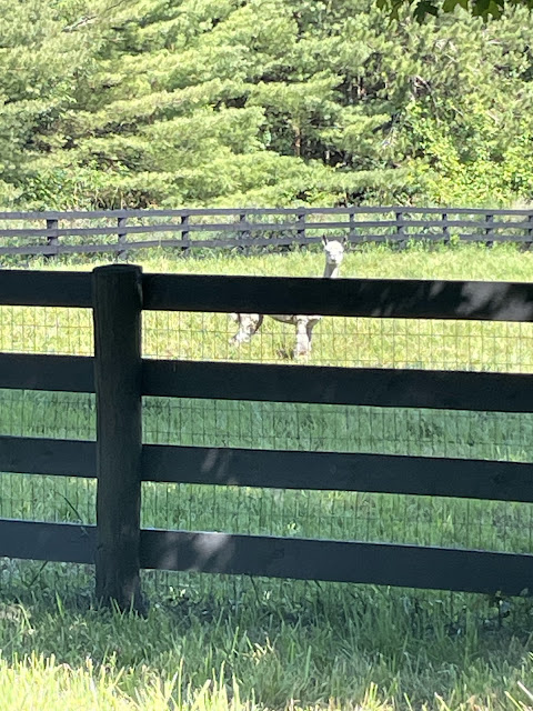 |
| Llama on Nottawasaga 26/27 |
Hike #59
Date: July 26th, 2024
Start Devil's Glen Provincial Park
Start Devil's Glen Provincial Park
Finish: No 26/27 Nottawasaga Side Road
Time: 3.5 hours
Distance: 9.69 kms
Difficulty: Moderate: rolling hills, meadows, rocky terrain
Trail Use: Hiking Only
Total kms hiked: 422.3 kms
Distance: 9.69 kms
Difficulty: Moderate: rolling hills, meadows, rocky terrain
Trail Use: Hiking Only
Total kms hiked: 422.3 kms
Points of Interest: We decided to pop into Mylar and Loreta's Restaurant on Highway 124 in Singhampton. We had a great meal on the quiet backyard like patio.












Comments
Post a Comment