Hike #30: Mount Nemo Conservation Area to No 8 Side Road, Burlington
 |
| Mount Nemo Conservation Area to No 8 Side Road |
We started todays hike close to where we left off last time at Mount Nemo Conservation Area. We neglected to make reservations ahead of time and there was no one in the booth so we we found roadside parking nearby on Colling Road. We tried to make a reservation on our phones but the internet in this area is spotty at best. The Bruce Trail runs alongside Colling Road (southwest) on a dirt trail. This was a pleasant hike with the trail separated from the road by wire fencing.
 |
| Bruce Trail alongside Colling Road |
 |
| Bruce Trail alongside Colling Road |
 |
| Lowville Quarry (former) |
 |
| Blind Road Section of the Bruce Trail |
 |
| Horse Farm on Blind Road |
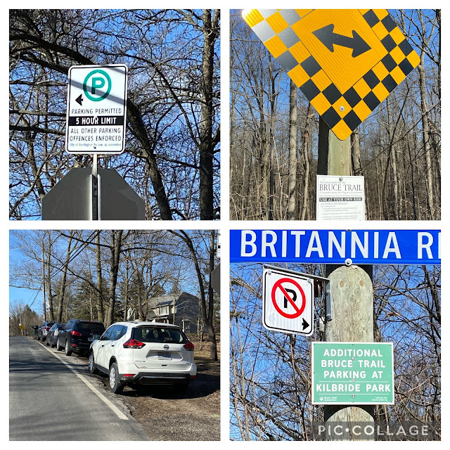
Blind Road ends in a T-Junction at Britannia. Here you will enter a wooded section which continues on towards No 8 Side Road. There is limited roadside parking permitted on Britannia. There is more parking available at Kilbride Park, should there be no spots on Britannia.
 |
| Trail head at Blind Road and Britannia |
The River and Ruin Side Trail forms a 2.7 km loop with the Bruce Trail. This trail offers an upper and lower section as you trek alongside Bronte Creek. In early spring only the upper trail may be available due to the swelling of Bronte Creek. We continued past the River & Ruin Trail and continued along the Bruce Trail.
 |
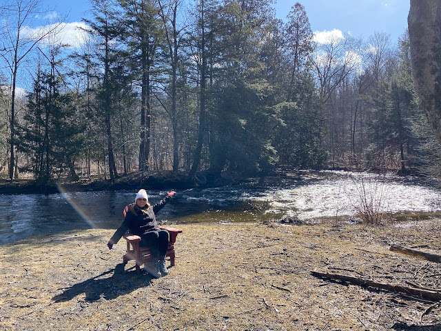
| Rest spot on Bronte creek where the Bruce Trail and River & Ruin Side trail intercept |
After passing by the first spot where the River & Ruin Side Trail meets the Bruce, we decided to veer onto the side trail where it begins along the river. We couldn't resist walking along Bronte Creek and were intrigued by the promise of ruins. Water levels were low today so we took the low water route.
 |
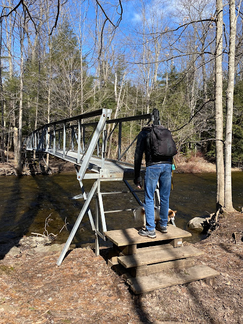
| View of Bronte Creek southwest from truss bridge |
 |
| View of Bronte Creek north east from truss bridge |
 |
| Boardwalk through marsh located west of Bronte Creek |
 |
| View of pond south of Bruce Trail, just before No. 8 Sideroad |
After passing through the Marsh, the Bruce Trail begins a steady switchback climb up out of the valley. Definitely enough of a climb to get your heart rate up! When you reach No 8 Side Road you will intercept the Kilbride Side Trail which will take you to Kilbride Park if that happens to be where you left your car. We parked our second car on Twiss Road at No 8 Side Road (space for about 4 cars).
 |
| No 8 Side Road (roadside parking) |
Hike #30
Date: April 2nd, 2022
Start: Mount Nemo Conservation Area
Finish: No 8 Side Road
Distance: 8.37 kms (including side trail)
Time: 2 hours 6 minutes
Difficulty: Easy
Trail Use: Hiking only on trail/multi use on roads
Total kms hiked: 181.2 kms
Kms remaining: 730.7kms
Points of Interest in the Area: Mount Nemo Conservation Area, Lowville Park, Lowville Golf Club, Lowville Bistro


Comments
Post a Comment