Hike #58 Devils Glen
 |
| Hike #58 Nottawasaga Bluffs through Devil's Glen |
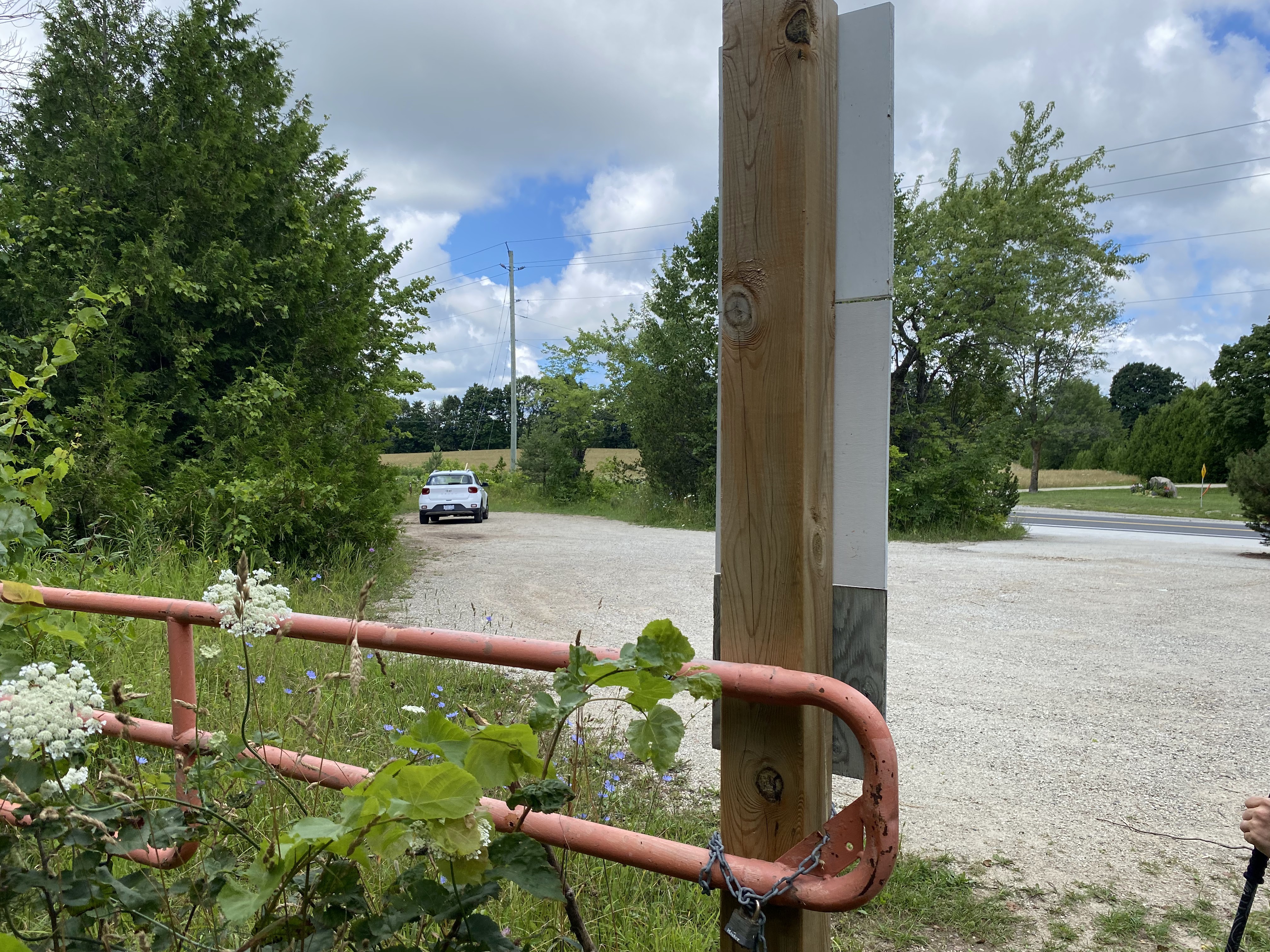
We started today's hike at the Bruce Trail Parking Lot on 15/16 Nottawasaga SR; however, we parked our car at the Devil's Glen Parking Lot on Highway 124 (space for 10 cars) and took an Uber to our starting location. Being this close to Collingwood we had no trouble getting an Uber for a cost of just over $10 (plus a generous tip). There are no washrooms on this leg, but if you walk about a hundred meters west of the Bruce Trail Parking Lot you will find a porta potty at the Nottawasaga Bluffs Parking Lot. If the BT lot is full (space for 5 cars) there is ample free parking at the Bluffs Lot.
 |
| Trail Head at Bruce Trail Parking Lot |
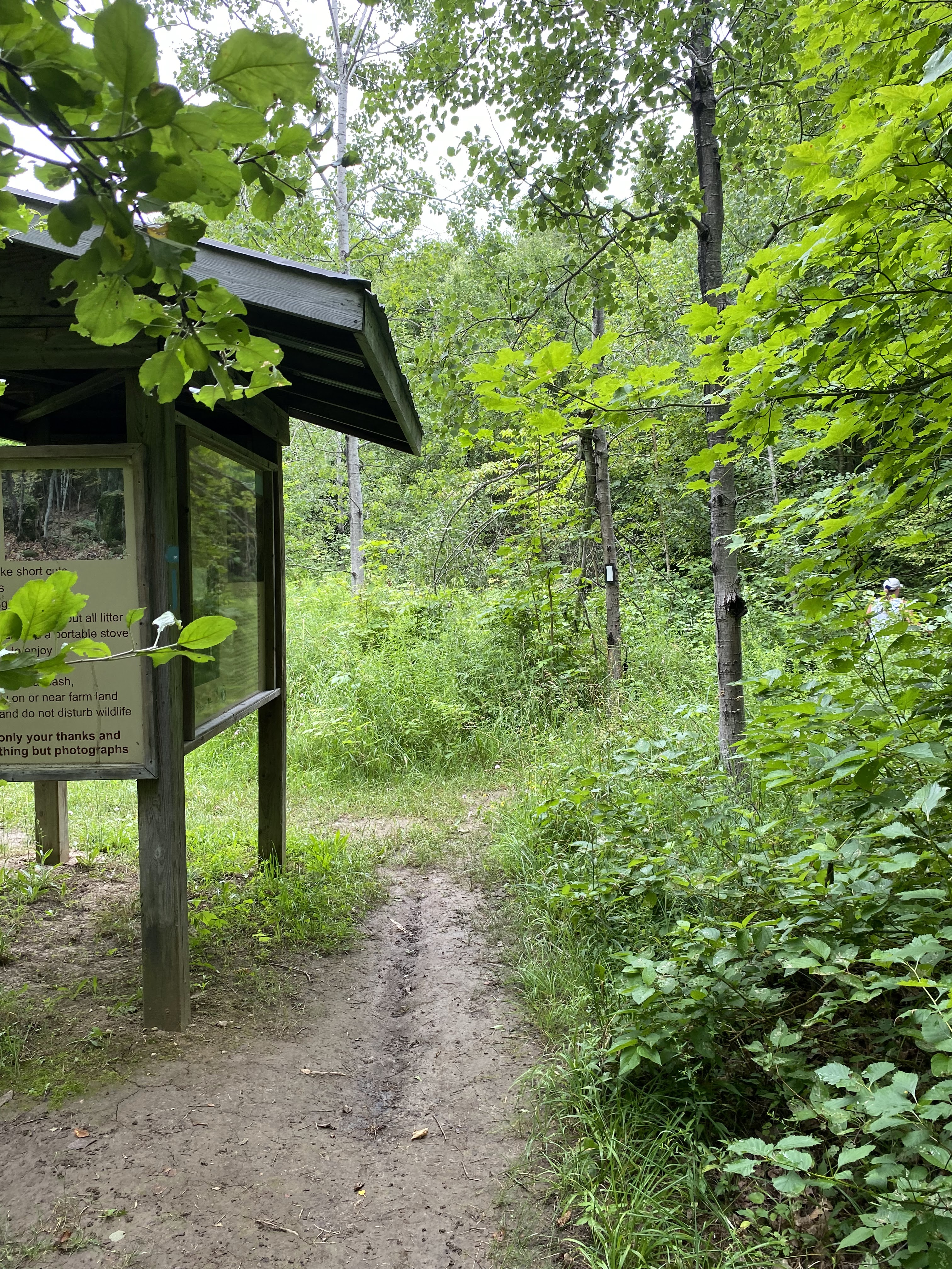
The first kilometre of the Bruce Trail from the BT parking lot is a wide gravel path. This would be suitable for all levels of hiking and would be accessible for those with mobility challenges. There are also several looping trails that explore the Devils Glen Provincial Park and Nottawasaga Bluffs Conservation Area which are accessible from this parking lot. The first few photos may look similar to our previous hike as we are repeating a short section of the loop we completed last week.


 |
| Peter taking a picture from the lookout spot |

 |
| View from Peter's Lookout spot |


 |
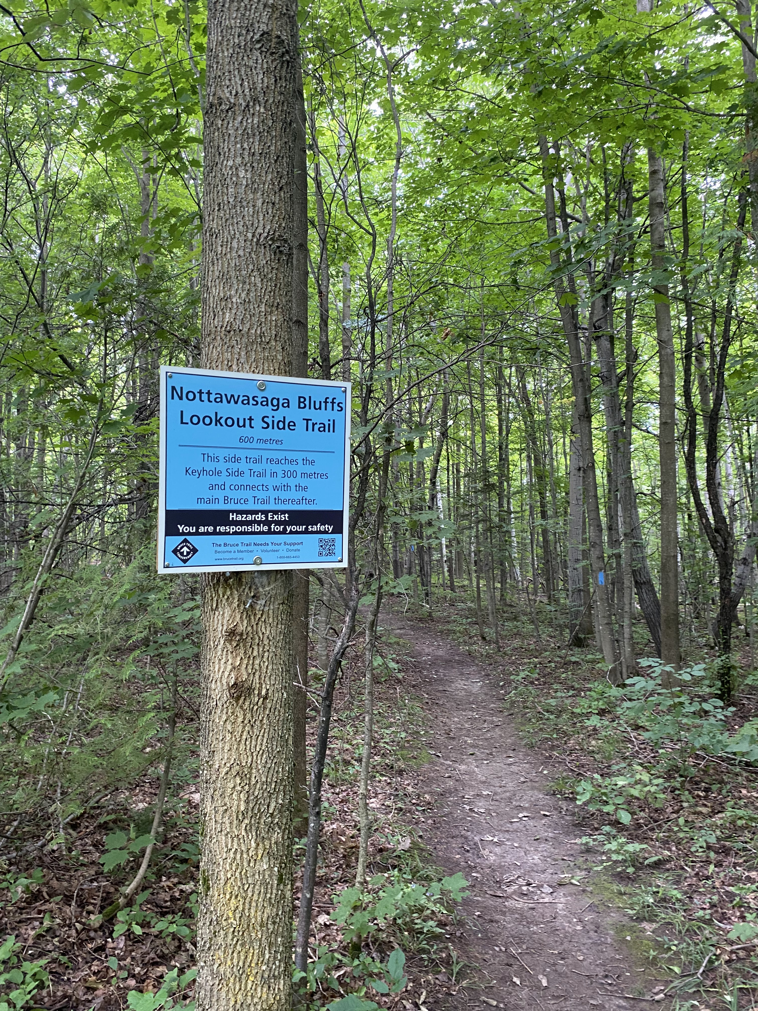
| Confluence of Side Trails in Nottawasaga Bluffs CA |


After exiting Nottawasaga Bluffs Conservation Area we skirted several farm fields flanked by forests.


After a short trek alongside farmers fields we entered the Devil's Glen Country Club. The Club has asked that hikers stay on the marked Bruce Trail and do not use any of the Clubs facilities. Unfortunately the section of the Bruce Trail that used to skirt the ridge is no longer open to non country club members. Below you will see a map showing where the BT used to go and the updated route. It did shave about 2kms off this section of the trail. The purple line shows the reroute; the yellow highlighted line shows the original trail along the ridge.


The Devil's Glen Country Club has a variety of trails of differing levels for snowshoeing and cross country skiing. There are also a couple of down hill slopes.


 |
| Terminus of the Ganaraska Hiking Trail |


 |
| Recreation Trail Map of Devil's Glen Country Club |
 |
| Out Building in Devil's Glen Country Club |
 |


 |
| Chairs for the lift taking a rest for the summer |


Although this doesn't look like much of a slope, it's actually pretty steep. I'd much rather climb up than go down. The gravel was very loose so we were slipping and sliding. The grass was not much better as it was full of pot holes.

 |
| Chair Lift |


The BT heading towards the Mad River was extremely overgrown. You can barely see the opening into the pine forest beyond.

 |
| The Mad River |


The Bruce Trail exits the Devil's Glen Country club onto a road which crosses the Mad River over a single car bridge. Be careful, a Purolater truck came whipping around the corner.

 |
| Mad River |


 |
| Bench about halfway up from the Banks of the Mad River |


 |
| Devil's Glen Parking Lot on Highway 124 |
 |
| View back towards Devil's Glen from Highway 124 |
 |
| Peter's Collection of Fungi |
This map misses the first kilometre of our hike.

Hike #58
Date: July 18th, 2024
Start Bruce Trail Parking Area
Start Bruce Trail Parking Area
Finish: Devil's Glen Provincial Park
Time: 2.5 hours
Distance: 7.8 kms
Difficulty: Moderate: rolling hills, meadows, rocky terrain
Trail Use: Hiking Only
Total kms hiked: 414.7 kms
Distance: 7.8 kms
Difficulty: Moderate: rolling hills, meadows, rocky terrain
Trail Use: Hiking Only
Total kms hiked: 414.7 kms
Points of Interest: We took a short trip to Wasaga after our hike for a dip in Lake Huron. We parked at the Municipal Parking Lot on 18th Street as the Provinial Parks were full and only allowing entry for those with reservations. The lot was very close to the beach, not too crowded. Just note there are no washrooms. Also, really close to the trail was Mylar and Loreta's Restaurant on Highway 124 in Singhampton. We didn't stop, but plan to on our next hike.
 |
| Wasaga Beach |


Comments
Post a Comment